⚠️ IMPORTANT NOTICE ⚠️
This site is ARCHIVED and will NO LONGER BE UPDATED.
For updated Tutorial material, please visit the Pythia landsat-ml cookbook.
For Topic Examples, head over to the HoloViz Examples website.

Topics

Examples of what can be done with EarthML. Each of these topics are available on examples.pyviz.org as self-contained, reproducible projects.

To learn how to use EarthML, see the Tutorial.

Contents:

  • Carbon Flux

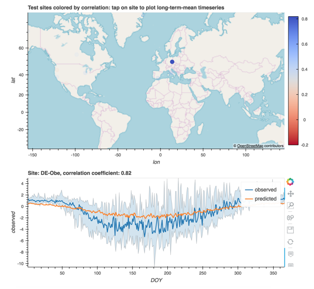
    Visualizing and estimating carbon flux at sites using fluxnet data.

    Visualizing and estimating carbon flux at sites
  • Heat and Trees

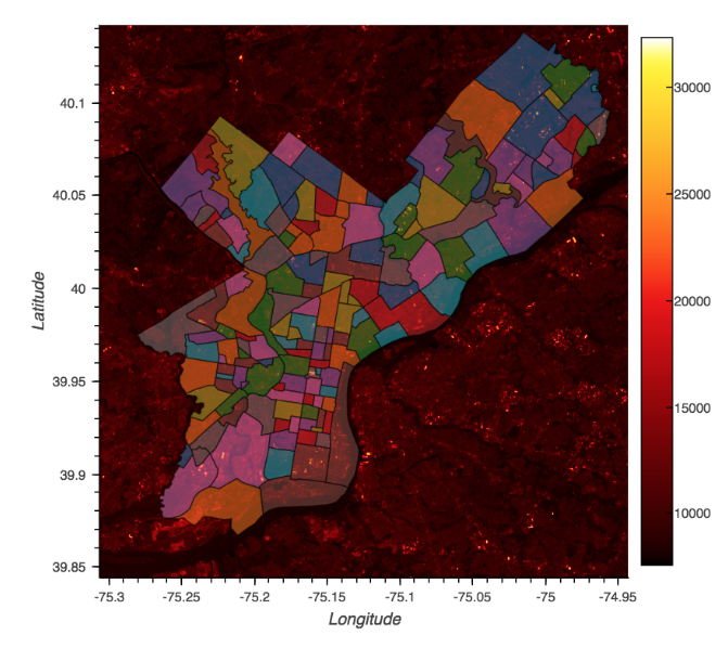
    Analysis of how trees affect heat distribution in urban areas.

    Analysis of how trees affect heat distribution
  • Walker Lake

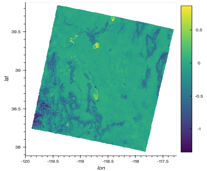
    Visualizing the change in the NDVI over time for a great saline lake.

    Visualizing the change in the NDVI over time
  • Image Classification

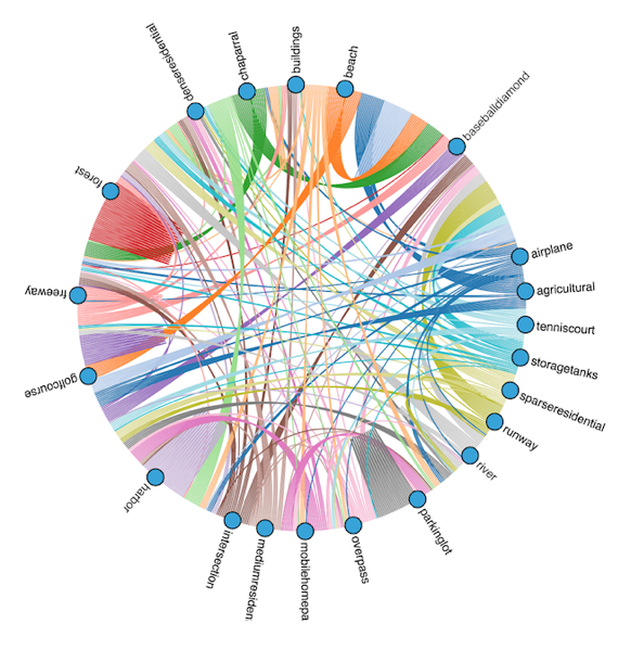
    Classifying satellite images using Keras+TensorFlow.

    Classifying satellite images using Keras+TensorFlow.
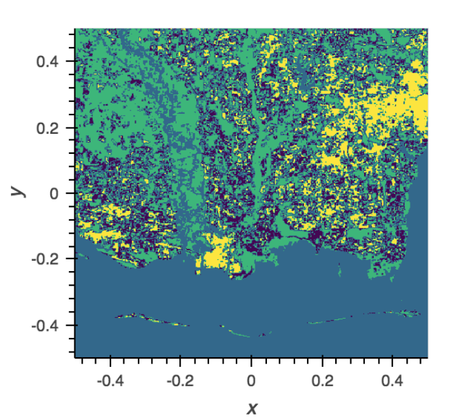
  • Landsat Spectral Clusering

    Unsupervised clustering of LANDSAT data

    Unsupervised clustering of LANDSAT data
  • Seattle Lidar

    Visualizing lidar data over the Seattle area.

    Visualizing lidar data over the Seattle area
  • GrabCut

    An example from the EarthSim project for using the GrabCut algorithm with OpenCV to extract a coastline from a satellite image.